Maps
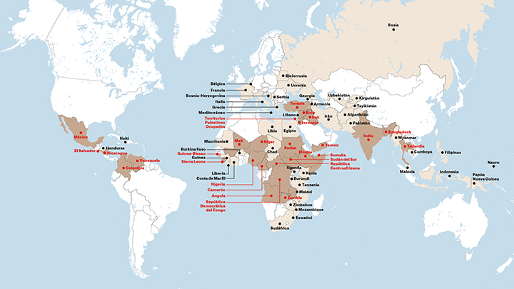
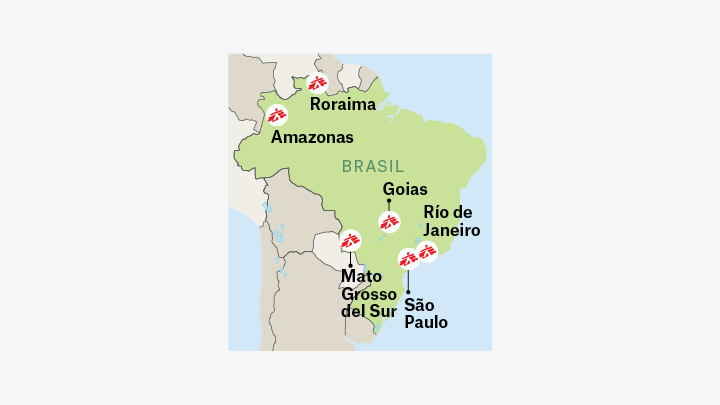
Médecins Sans Frontières works in dozens of countries around the world.
In our identity system, we use a world map to indicate the location of our projects.
Médecins Sans Frontières works in dozens of countries around the world.
In our identity system, we use a world map to indicate the location of our projects.
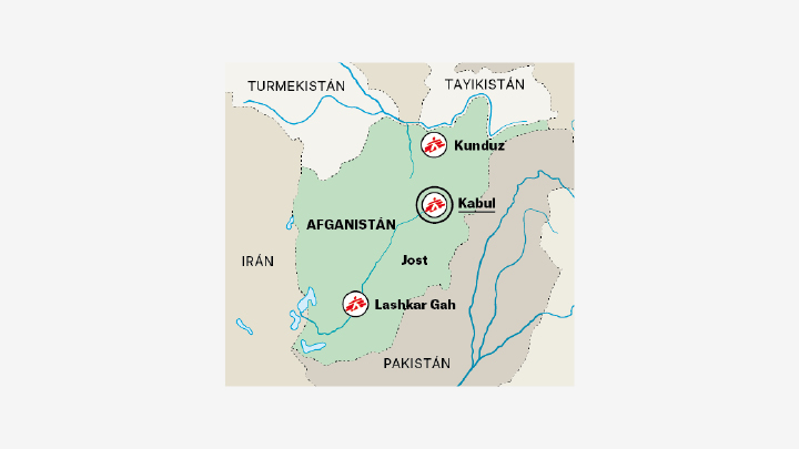
On each map, areas or countries will be marked with block colour backgrounds.
The information hierarchy is established on a case-by-case basis.
Pictograms from the library may be used on the maps, but note that there is a specific graphic code, which must be used to indicate projects or locations.
Icons and text can be resized as necessary. Do not go below the minimum sizes to ensure that they are always legible.
IMPORTANT!: If you have to add names to a map, it is very important to check that they are spelt correctly. Consult the MSF Intl Style Guide A-Z or the maps of the international website.
Information type |
Graphic style |
|
| Country with project | South Sudan | |
| Atlas Grotesk Black, upper case. Highlight countries in colours that stand out in comparison to countries without projects, and on which black text can be read easily. | ||
| Country with no project | Argentina | |
| Atlas Grotesk Regular, upper case. Highlight the country on the downloadable map with the chosen colour. | ||
| Featured area | Occupied Palestinian Territories  |
|
| Atlas Grotesk Black, lower case. Outline the area with a dashed line. The area may be filled in with a muted tone of the same colour as the country. | ||
| Capital with project |  Amman Amman |
|
| Atlas Grotesk Black, lower case, underlined. | ||
| Capital with no project |  Delhi Delhi |
|
| Atlas Grotesk Black, lower case, underlined. | ||
| Location with project |  Monteagudo Monteagudo |
|
| Atlas Grotesk Black, lower case. | ||
| Location with no project |  Malakal Malakal |
|
| Atlas Grotesk Regular, lower case. | ||
| Arrow key |    |
|
| Colours that stand out from the background colour. | ||
| Border |  |
|
| Outline style on the downloadable map. | ||
| Oceans, seas, lakes and rivers | Gulf of Aden | |
| Atlas Grotesk Regular, lower case, blue. |
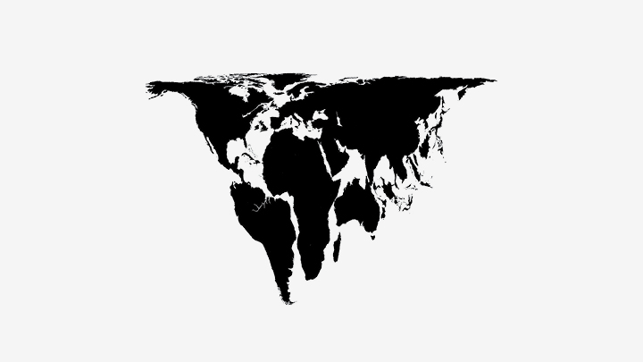
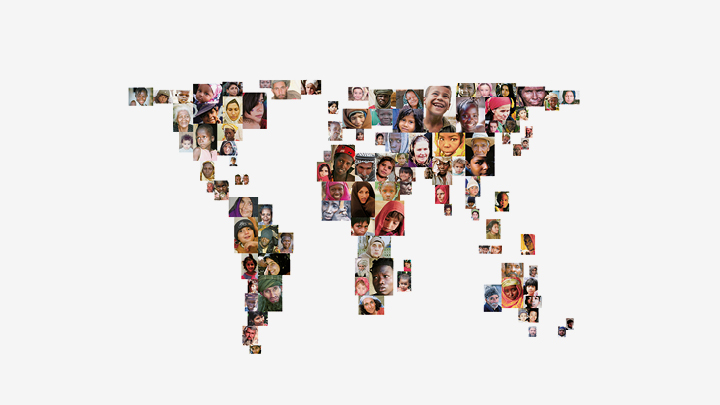
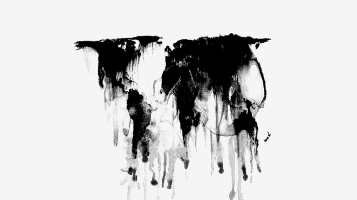
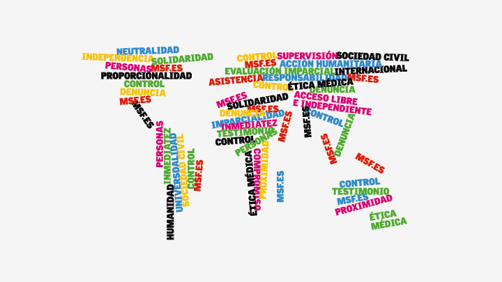
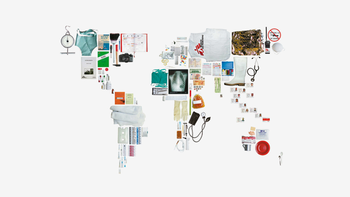
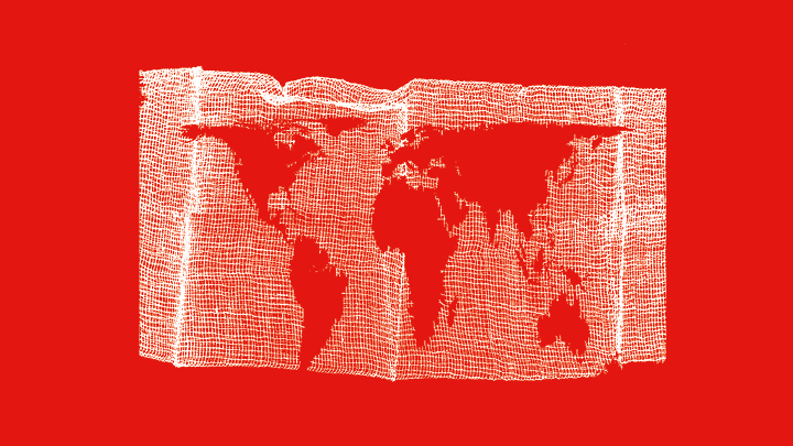
In addition to designating projects, the identity of MSF can be reinforced with the use of illustrations made from the world map.
Graphical interpretations of the world map can be used to represent or suggest the principles and areas of action of MSF.
If you have to add names to a map, it is very important to check that they are spelt correctly. Consult the MSF Intl Style Guide A_Z of place names or the maps on our website.